- Equipment >
- Marine Electronics >
- GPS
GPS
{{product.productLabel}} {{product.model}}
{{#if product.featureValues}}{{product.productPrice.formattedPrice}} {{#if product.productPrice.priceType === "PRICE_RANGE" }} - {{product.productPrice.formattedPriceMax}} {{/if}}
{{#each product.specData:i}}
{{name}}: {{value}}
{{#i!=(product.specData.length-1)}}
{{/end}}
{{/each}}
{{{product.idpText}}}

... and heading changes with update rates of 10 times per second. Easily transfer waypoints, tracks and routes from your other GPS devices. See what’s around your boat with built-in sonar capabilities on select models ...
Garmin
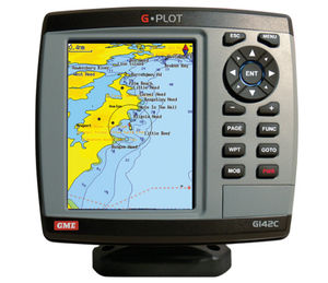
The GME G-Plot offers a simple to use highly featured GPS chartplotter. Incorporating a 16 channel internal GPS antenna for fast GPS updates, perspective view, animated navigation markers ...
GME electrophones
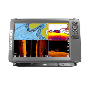
... Tripleshot 3-in-1 displays give you wide-angle High CHIRP Sonar and Sidescan/Downscan Imaging™ with full chartplotter and basic GPS plotter navigation options. The World’s Easiest Fishfinder With HOOK², you will spend ...
Lowrance

... sunlight. System capable of displaying wide range of NMEA Information. KRD-10 can be displayed of NMEA informations of GPS Compass, Weather Station, Wind Anemometer, Rudder and much more. Quick access Numeric ...
Koden electronics
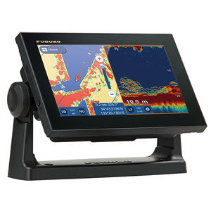
GPS/WAAS CHART PLOTTER with built-in CHIRP FISH FINDER 9" GPS Chart Plotter/Fish Finder with Tablet Control/Mirroring function Available. Wireless Connection to Smartphone and tablet NEW View your ...
Furuno
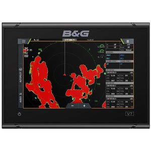
... expansion is simple as Vulcan is NMEA 2000®, Broadband Radar™, ForwardScan™ and autopilot ready; and features built-in 10Hz GPS and Wi-Fi. Welcome to the B&G Vulcan range B&G's Vulcan range of sailing chartplotters ...
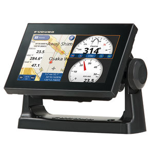
... connected to the GP-1871F and GP-1971F and controlled directly from the Chart Plotter. C-Weather data can be downloaded from C-map.com providing Wind, Wave, Weather, Humidity and Temperature information. When ...
FURUNO France

... NMEA 2000®, HDMI In/Out, WiFi and Bluetooth®. Add the power of the One-Boat Network™ to integrate the accuracy of Humminbird GPS charts, unrivaled boat control from Minn Kota®, and reach new depths with wireless Cannon® ...
Humminbird
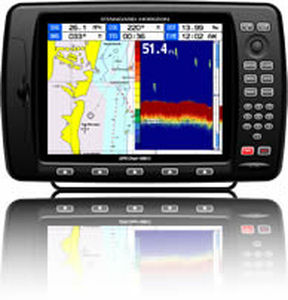
10" Color Sunlight Viewable WAAS GPS / C-Map MAX compatible Chart Plotter
Standard horizon
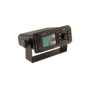
The SMARTFIND M5 AIS Class A transponder is packed with powerful features. It is the first to include an AIS MOB and AIS SART alarm function, with a Steer To Rescue MOB display enabling you to quickly and easily navigate to the location ...
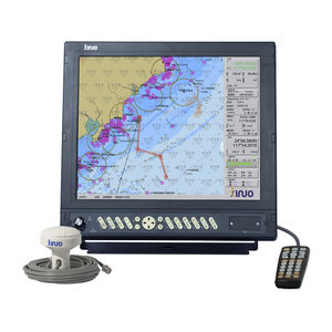
· Passed China Classification Society CCS type approval. · Support Ethernet, WIFI and 4G network communication. · Support to update software online. HM-5817 electronic chart system meets the standard of Class A ECS. It uses high-performance ...
Xinuo Information Technology (Xiamen) Co.,Ltd
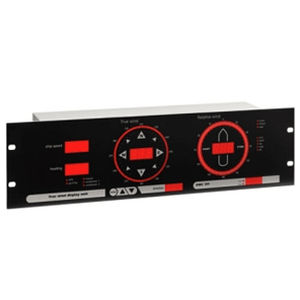
... mounting into a standard 19" rack. Any inclination is allowed and no additional control units are required. Information from a GPS is required for calculation of the true wind; when this data is invalid, or at low speeds, ...
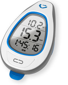
GPS for SUP The Makai is the first GPS that’s specifically designed for SUP. It measures the Doppler shift in GPS signals to calculate your speed every half-second. Optimize your ...
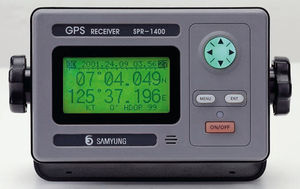
... type • Receiving Sensitivity : below -130dBm • Resolution : 1/1000 Lat. and Longitude • Accuracy : In case of GPS, Position : 10m 2D RMS (HDOP〈 2)( SA OFF)In case of DGPS, Position : 3m ...
Navis USA LLC
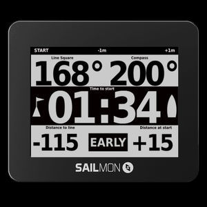
... pre-start information wind sensor). NON GPS MODE Although GPS is not allowed in all classes, MAX can still be used using for shift tracking, heading, heel and pitch. In the app you can prove when ...
Your suggestions for improvement:
the best suppliers
Subscribe to our newsletter
Receive regular updates on this section.
Please refer to our Privacy Policy for details on how NauticExpo processes your personal data.
- Brand list
- Manufacturer account
- Buyer account
- Our services
- Newsletter subscription
- About VirtualExpo Group


Please specify:
Help us improve:
remaining