- Maritime equipment >
- Navigation, Communications, Electronics >
- Navigation software
Navigation software
{{product.productLabel}} {{product.model}}
{{#if product.featureValues}}{{product.productPrice.formattedPrice}} {{#if product.productPrice.priceType === "PRICE_RANGE" }} - {{product.productPrice.formattedPriceMax}} {{/if}}
{{#each product.specData:i}}
{{name}}: {{value}}
{{#i!=(product.specData.length-1)}}
{{/end}}
{{/each}}
{{{product.idpText}}}
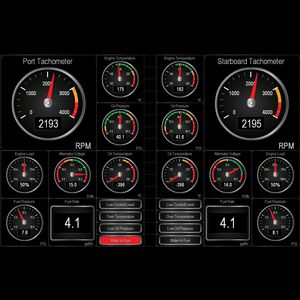
... systems while underway or remotely from your home or office, Maretron’s N2KView® software displays the information you need including engines, generators, tanks, rudders, navigation instruments, local ...
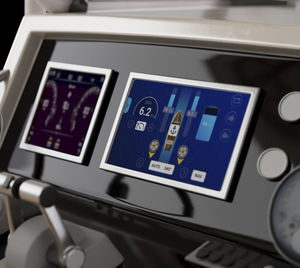
The BlueNav software revolutionizes the navigation experience with its hybridization solution and software package. It includes seven features: Virtual Anchor The BlueNav virtual ...

Qinertia PPK software offers an all-new level in high-precision positioning solutions. In a world that demands accuracy without compromise, our software is emerging as the cornerstone for professionals ...
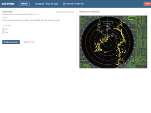
... navigators is a part of Crew Knowledge Assessment Software (KAS 1.0), it is designed for detailed assessment of navigators in accordance with Sections A-II/1, A-II/2, A-II/3 of STCW Code. Navigation ...
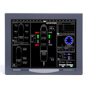
Alphatron AlphaConning software is a user-friendly software package supported by Alphatron Marine. The I/O hardware interfaces developed by Alphatron make it possible to connect additional ...
Alphatron Marine
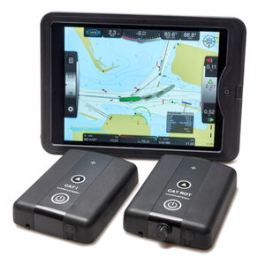
The SafePilot Piloting Software is a professional piloting/navigation iOS based software that is developed in collaboration with marine pilots worldwide. Known for its intuitive ease ...
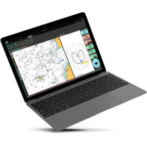
... Octopus software is there to fit them! Adrena condensed all its expertise to develop a piece of software dedicated to cruising: Octopus will help you anticipate your navigation serenely ...
Adrena
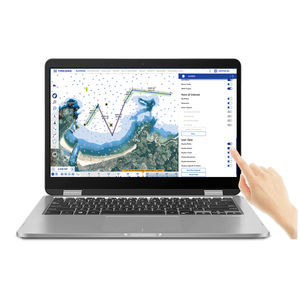
... TIMEZERO software has two main objectives: Supreme control and comfort. Discover in this section how TIMEZERO software caters to your needs no matter your marine navigation type. Make ...
MaxSea International
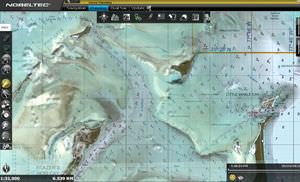
... cutting-edge navigation software, specifically designed for use aboard sailing and power boats. Its wide range of features and user-friendly interface make it the perfect solution for ...
Nobeltec
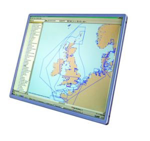
Admiralty Digital Radio Signals Volume 6 (ADRS6) is an advanced source of maritime radio communications information for pilot services, vessel traffic services and port operations. ADRS6 provides detailed information and working procedures ...
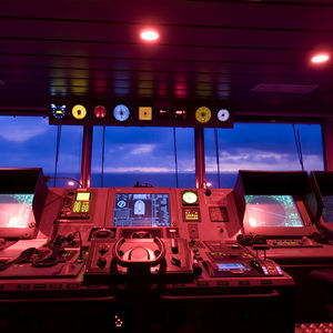
... vivid traffic light indicators show overall system health. This software is designed to run independently from the position calculation, allowing users to interact freely with the software without ...
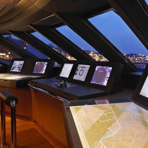
RH Marine offers complete electrical system integration for superyachts, including power generation and distribution, navigation and communications. Our systems are optimised for maximum performance throughout a yacht's ...
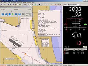
... electronic charting and navigation systems for the marine pilot since 2000. Qastor is offered as a standard software licence with several add-on modules to suit the individual needs of ports and pilots. ...
Navicom Dynamics

The transceiver includes an electronic unit (EU) and software. They should be allocated to the same computer using Exercise manager "Equipment" menu. Features : Inmarsat C telex e-mail SafetyNET
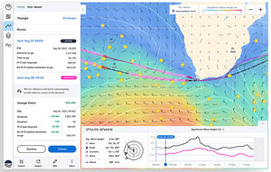
Why Wayfinder? Wayfinder is a dynamic voyage guidance system that delivers the most efficient and least weather-restricted speed and waypoint recommendations to your fleet. The platform is powered by our global network of ocean sensors, ...
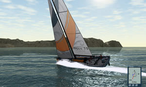
This item can't be supplied on CD-Rom. Experience the excitement of realistic virtual sailing. Trim your boat, control the sheets and steer the selected sailing boat at maximum speed through the waves. Sail Simulator 5 has been optimized ...
Simware Simulations
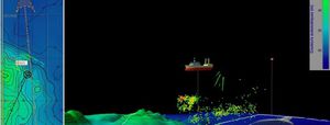
Much more than a fishing navigation software, TURBO TACTIC takes into account all aspects of the onboard work process, including acoustic analysis of detections, the bathymetric and oceanographic environment, ...

... and enabling the expert to optimize and improve the highest level of performance. The esa Training system consists of a software compatible with the iOS systems (iPhone, iPad, iPod touch) and hardware for connection ...
ASTRA Yacht

CUSTOM SOFTWARE You do not want to settle for standard software for your business, your strategy and your needs are unique? Need custom software? The custom software ...

... and analyse in realtime 3D for accurate information of what is below your vessel. Designed to work beside our C-PLOT Software Navigation System. FEATURES Real Time: As the vessel moves, the image ...
AMI TMQ International

... Products from AD Navigation is designed to interface easily to ANY Pilot Software system that accepts standard NMEA messages. Our customers, the Pilots and our connected engineers ...
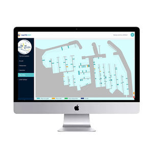
... staff plannings and assignment possibility BOATER SOLUTION Communication tools & services for boater by mobile App Navigation listing Webcam access User-friendly App - Available on Savings for owners ...
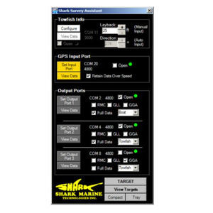
... Assistant is a bridging software, useful in a wide range of marine surveying applications. The SSA takes a GPS input and distributes that information to three separate ports can be connected to other surveying or navigation ...
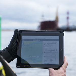
Our innovative LightGuard monitoring for fixed and floating Aids-to-Navigation combines simple usage and increased safety. The web-based interface allows you to use it on web-enabled computers, tablets ...
Your suggestions for improvement:
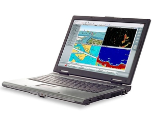
Navigation software consists of computer programs for reading electronic charts and handling the full range of navigational operations, as well as complementary functions.
ApplicationsSuch programs can be used aboard any vessel, recreational, professional or commercial, equipped with a desk or laptop computer, a tablet or a smartphone.
TechnologiesThis software is sometimes designed for professional use aboard yachts and ships, or for recreational activities, especially sailing and racing. Most can read electronic raster (scanned) or vector charts, and can be linked to a GPS for position, course and waypoint management.
Certain versions offer specific capabilities such as displaying GRIB or other weather files, and Automatic Identification System (AIS) data. Weather information can be used aboard sailboats to determine course as a function of polar curves. When linked to the vessel's NMEA, it can display wind, speed, depth and other data, and sometimes interact with the autopilot.
The software must be compatible with the computer's operating system, as well as with the functional parameters of on-board communication systems such as NMEA or SeaTalk®.
- Significant time savings
- Expanded functionality
- Compact chart storage
- Dependant on on-board computer
- Dependant on on-board electrics
- Loss of traditional knowhow (sextant use, etc.)
the best suppliers
Subscribe to our newsletter
Receive regular updates on this section.
Please refer to our Privacy Policy for details on how NauticExpo processes your personal data.
- Brand list
- Manufacturer account
- Buyer account
- Our services
- Newsletter subscription
- About VirtualExpo Group


Please specify:
Help us improve:
remaining