- Equipment >
- Marine Electronics >
- Satellite
Satellite
{{product.productLabel}} {{product.model}}
{{#if product.featureValues}}{{product.productPrice.formattedPrice}} {{#if product.productPrice.priceType === "PRICE_RANGE" }} - {{product.productPrice.formattedPriceMax}} {{/if}}
{{#each product.specData:i}}
{{name}}: {{value}}
{{#i!=(product.specData.length-1)}}
{{/end}}
{{/each}}
{{{product.idpText}}}

A PREMIUM CHARTPLOTTER FOR THE ADVENTUROUS SPIRIT These chartplotters feature large, bright screens coupled with quick and easy-to-use keypad interfaces with user-programmable keys and multifunction control knobs to help you navigate ...
Garmin
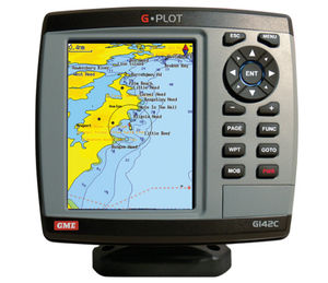
The GME G-Plot offers a simple to use highly featured GPS chartplotter. Incorporating a 16 channel internal GPS antenna for fast GPS updates, perspective view, animated navigation markers and plotter mode are some of the many functions ...
GME electrophones

... high-resolution Color LCD Numeric keypad mounted DGPS enabled by connecting an external beacon receiver (owner supplied) SBAS (Satellite Based Augmentation System) enabled 5,000 waypoints, 100 routes and 3,000 track ...
Koden electronics
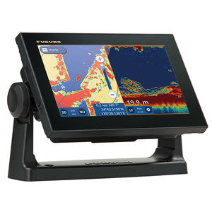
GPS/WAAS CHART PLOTTER with built-in CHIRP FISH FINDER 9" GPS Chart Plotter/Fish Finder with Tablet Control/Mirroring function Available. Wireless Connection to Smartphone and tablet NEW View your GP-1871F/1971F screen on your ...
Furuno

... the GP-1871F/1971F delivers highly precise data that features plenty of useful information, such as shaded reliefs, 3D and Satellite views relief vectors, tidal streams and marine plans, considerably enhancing your navigational ...
FURUNO France
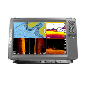
This is perfect for anglers who want the full sonar experience. Tripleshot 3-in-1 displays give you wide-angle High CHIRP Sonar and Sidescan/Downscan Imaging™ with full chartplotter and basic GPS plotter navigation options. The World’s ...
Lowrance
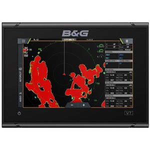
The B&G Vulcan 7 is a great value, sailing chartplotter designed for coastal cruising and club racing. This easy-to-use, intuitive 7-inch multi-touch screen is packed with B&G’s unique sailing features including SailSteer and RacePanel. ...

The APEX 19 MEGA SI+ CHARTPLOTTER provides the clearest sonar imaging on the sharpest multi-function display that anglers have ever seen. Industry-leading MEGA Imaging+ and Dual Spectrum CHIRP sonar come standard, with even more performance ...
Humminbird
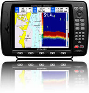
10" Color Sunlight Viewable WAAS GPS / C-Map MAX compatible Chart Plotter
Standard horizon
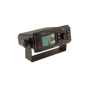
The SMARTFIND M5 AIS Class A transponder is packed with powerful features. It is the first to include an AIS MOB and AIS SART alarm function, with a Steer To Rescue MOB display enabling you to quickly and easily navigate to the location ...

Features • Wide 5" High resolution TFT LCD • Fast screen response by high performance CPU • 10 steps adjustable LED backlight • Multiple languages available including English, Chinese, Russian,Thai, Malay etc. • 128MB internal memory ...
Navis USA LLC
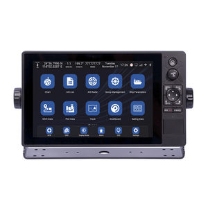
... and GPS dual mode positioning. ◆ Support different chart format of C-MAP (MAX), S-63, CJ-63. It also supports to overlay satellite images on the chart. ◆ Support 6-channel network camera access to realize real-time ...
Xinuo Information Technology (Xiamen) Co.,Ltd
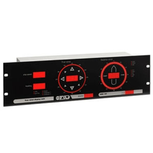
The OMC-131 True wind display is specially designed for easy read out of "true" and "relative" wind information on board sea going vessels. The unit is suitable for panel mounting as well as mounting into a standard 19" rack. Any inclination ...
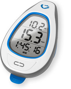
GPS for SUP The Makai is the first GPS that’s specifically designed for SUP. It measures the Doppler shift in GPS signals to calculate your speed every half-second. Optimize your stroke without interrupting it The Makai's big numbers ...
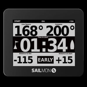
TRY TO FIND A MORE ADVANCED SAILING INSTRUMENT. WE’LL WAIT. START BETTER Ping the boat, ping the pin and our navy grade GPS will guide you to the line with 0.3m accuracy. There is no excuse to ever be early or late again. SAIL ...
Your suggestions for improvement:
the best suppliers
Subscribe to our newsletter
Receive regular updates on this section.
Please refer to our Privacy Policy for details on how NauticExpo processes your personal data.
- Brand list
- Manufacturer account
- Buyer account
- Our services
- Newsletter subscription
- About VirtualExpo Group


Please specify:
Help us improve:
remaining