Digital nautical chart MAX
Add to favorites
Compare this product
Characteristics
- Type
- digital
Description
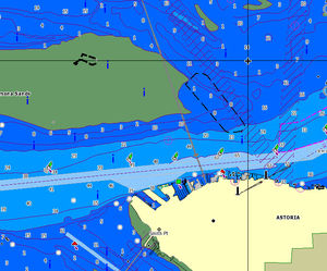
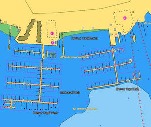
C-MAP MAX electronic charts have been a worldwide standard for years, providing cruisers, sailors and fishermen with the accurate, up-to-date chart data they need to enjoy each day on the water. Still a leading choice of navigators and chartplotter manufacturers around the globe.
Updated twice annually to provide all the latest detail and information
Compatible with dozens of chartplotters from top manufacturers
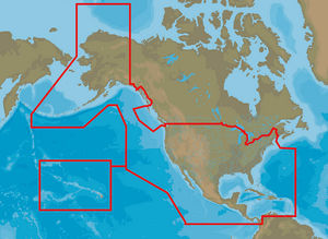
Extensive coverage of coastal waters, lakes and rivers
Local, Wide and MegaWide coverage for all charting needs and budgets
Catalogs
Related Searches
*Prices are pre-tax. They exclude delivery charges and customs duties and do not include additional charges for installation or activation options. Prices are indicative only and may vary by country, with changes to the cost of raw materials and exchange rates.


