
- Products
- Catalogs
- News & Trends
- Exhibitions
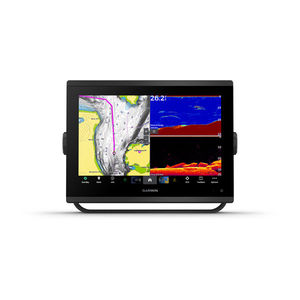
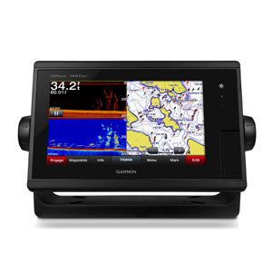
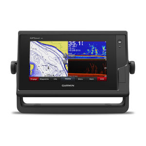
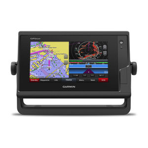
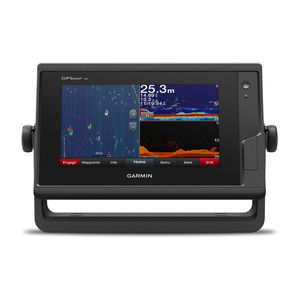
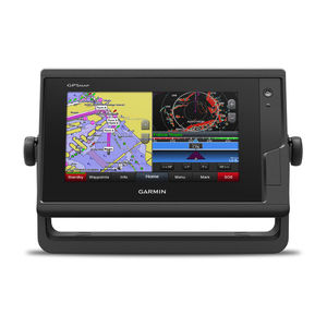
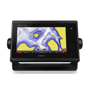
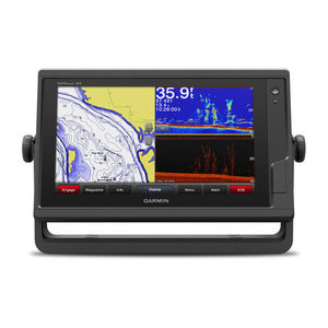
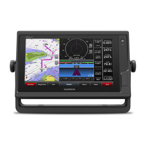
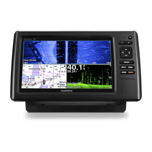
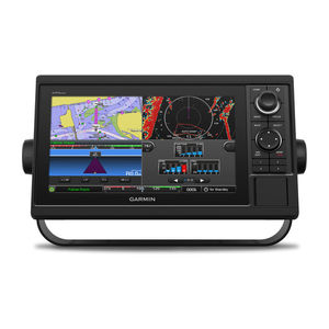
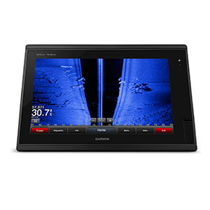
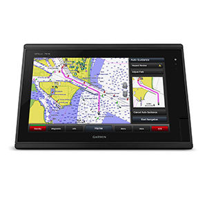
Chart plotter GPSMAP® 7610 sonarGPSfor boats
Add to favorites
Compare this product
Characteristics
- Function
- chart plotter, sonar, GPS
- Application domain
- for boats
- Technology
- HD
- Mount
- fixed
- Other characteristics
- with touch screen, widescreen
Description
10-inch multi-touch widescreen display (1280 x 800 WXGA) preloaded with both BlueChart® g2 U.S. coastal and LakeVü HD maps
High-sensitivity internal 10 Hz GPS/GLONASS
Fully network capable for Garmin Marine Network and NMEA 2000®, plus NMEA 0183 support
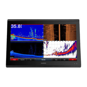
Supports GSD™ premium sonar and GCV™ scanning sonar modules
Advanced sailing and sail racing features
Designed for cruisers, sailors and sailing racers who demand high performance, ease of operation and feature integration, the GPSMAP 7610 chartplotter with 10-inch multi-touch widescreen display has a 10 Hz internal GPS that updates position and heading 10 times per second. It is fully network capable, including the Garmin Network and NMEA 2000, and offers the conveniences of built-in Wi-Fi® connectivity.
Preloaded BlueChart g2 Maps
In addition to basic charts, tidal stations, currents, depth contours, IALA symbols and included fishing charts, BlueChart g2 offers smooth transitioning between zoom levels and more seamless continuity across chart boundaries. You can customize your screens with Safety Shading that allows you to shade all depth contours shallower than your boat’s safe depth. Fishing charts emphasize bathymetric contours with less visual clutter on the display. And there’s also a choice of standard 2-D direct overhead or 3-D “over-the-bow” map views for easier chart reading and orientation.
Preloaded LakeVü HD Maps
These highly detailed freshwater maps include 17,000+ U.S. lakes, rivers and reservoirs. Included in those are more than 13,000 HD lakes with 1-foot contours shoreline to shoreline; excellent detail of underwater features plus Shallow Water Shading that allows you to designate a minimum depth;
Related Searches
- Garmin boat antenna
- Garmin boat sensor
- Radome antenna
- Radio
- Garmin sonar
- Marine radio
- Video surveillance video camera
- Garmin temperature sensor
- Garmin multi-purpose instrument
- VHF radio
- Garmin fixed multi-purpose instrument
- Garmin boat multi-purpose instrument
- Display
- Garmin depth transducer
- Garmin chart plotter
- Garmin satellite
- Boat display
- Garmin GPS
- AIS
- Fixed video camera
*Prices are pre-tax. They exclude delivery charges and customs duties and do not include additional charges for installation or activation options. Prices are indicative only and may vary by country, with changes to the cost of raw materials and exchange rates.


