
- Maritime equipment
- Navigation, Communications, Electronics
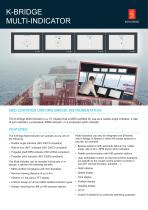
- Ship ECDIS
- Kongsberg Maritime
- Products
- Catalogs
- News & Trends
- Exhibitions
Ship ECDIS K-Bridge

Add to favorites
Compare this product
Characteristics
- Application domain
- for ships
Description
The K-Bridge Electronic Chart Display and Information System - ECDIS system, is a fully compliant and easy to operate ECDIS for new builds and retrofit installations.
ECDIS functions
Radar video overlay from K-Bridge ARPA radar
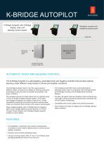
Autopilot control with simplified "curved EBL"
"Active lights" display for simplified visual position confirmation
Docking function provides prediction of ship movement
Full route planning and validation functions
Continuous monitoring of own ship in relation to route plan and waters
Displays up to 100 Automatic Radar Plotting Aid (ARPA) tracked targets
Displays targets and information from AIS - Automatic Identification System
EBL / VRM gives the correct range and bearing from own ship
Remote control of K-Bridge autopilot providing track-keeping functions
Echo sounder monitoring and recording of chart depth information
Voyage recording and replay
Navtex interface
IMO defined functions
Type approved
Chart types
The ECDIS system uses official vector charts and accepts CM-93 vector charts from C-Map, and is compatible with ARCS from The United Kingdom Hydrographic Office. This means a world-wide coverage of electronic charts. K-Bridge is a fully compliant and easy to operate ECDIS system for new builds and retrofit installations.
Catalogs


Related Searches
- Temperature sensor
- Kongsberg ship sensor
- Kongsberg pressure sensor
- Ship joystick
- Autopilot
- Ships radar
- Standard autopilot
- Motor sensor
- Color radar
- ARPA radar
- Ship monitoring system
- Radar with AIS
- Storage tank sensor
- Ship autopilot
- Lateral thruster joystick
- Integrated bridge system
- Dynamic positioning system (DPS)
- ECDIS
- Ship ECDIS
- Ship integrated bridge system
*Prices are pre-tax. They exclude delivery charges and customs duties and do not include additional charges for installation or activation options. Prices are indicative only and may vary by country, with changes to the cost of raw materials and exchange rates.