- Equipment
- Marine Electronics
- AIS software
- MaxSea International

- Products
- Catalogs
- News & Trends
- Exhibitions
Navigation software TZ Navigator v3weatherAISmarine

Add to favorites
Compare this product
Characteristics
- Function
- navigation, weather, AIS
- Applications
- marine
Description
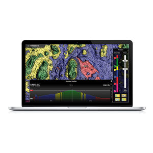
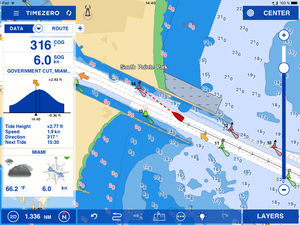
TZ Navigator software has been designed to answer the navigation needs and requirements of recreational sailors. With features that are truly cutting-edge, it is a software that takes you from cruising with your powerboat or yacht, to racing in regattas. TIMEZERO software has two main objectives: Supreme control and comfort. Discover in this section how TIMEZERO software caters to your needs no matter your marine navigation type.
Make the most of your marine navigation with the right software
TZ Navigator PC software comes with 2 workstations + integrates with the whole TIMEZERO ecosystem including TZ MAPS, TZ iBOAT, TZ CLOUD, and Furuno NavNet system!
What can TZ Navigator do for you?
Sailing types vary enormously and depending on whether you want to cruise or relax in your powerboat or yacht, or race in regattas, you will of course have requirements that are unique to that particular type.
Whilst safety and ease of use remain the keystone for every sailor, other requirements such as route planning, AIS features, radar overlay and fish finder are vital for some and less so for others.
That’s why we invite you to visit the following section that will help you to find the best fit for your sailing type.
Why should you choose TZ Navigator?
Have the world at your fingertips thanks to the MapMedia charts catalog compatible with TZ Navigator. The introduction of TZ MAPS, our revolutionary nautical chart format, gives you access to all types of data available for your area: Raster, Vector, detailed land information, high-resolution satellite photos, and high-resolution Bathymetry.
VIDEO
Catalogs
No catalogs are available for this product.
See all of MaxSea International‘s catalogs*Prices are pre-tax. They exclude delivery charges and customs duties and do not include additional charges for installation or activation options. Prices are indicative only and may vary by country, with changes to the cost of raw materials and exchange rates.


