- Ships and professional boats
- Service and Work boats
- Oceanographic survey marine drone
- OceanAlpha Group Limited
- Company
- Products
- Catalogs
- News & Trends
- Exhibitions
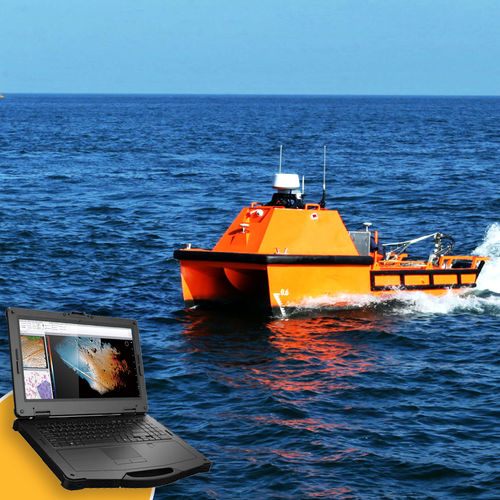
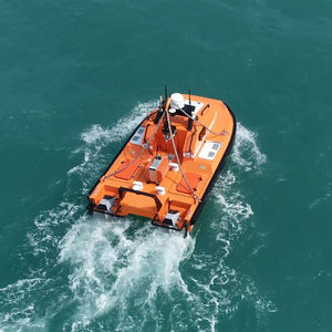
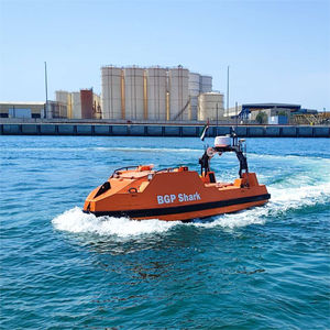
Oceanographic survey USV L25for hydrographic surveysfor underwater topographic mappingfor underwater object detection

Add to favorites
Compare this product
Characteristics
- Applications
- for hydrographic surveys, for oceanographic surveys, for underwater object detection, for underwater topographic mapping
- Guidance
- remote-controlled
- Length
7.5 m
(24'07" )- Width
3 m
(9'10" )- Height
3 m
(9'10" )- Weight
2,400 kg
(5,291 lb)- Payload
200 kg
(441 lb)- Maximum speed
10 kt
- Working speed
4 kt, 5 kt
Description
The L25 USV can carry up to 200kg of hydrographic & geophysical instruments to
conduct multi-purposed physical oceanographic surveys and biological environment monitoring on the deep sea.
① Large Capacity for Multi-function Instruments
· Wider deck, bigger payload, supporting multiple equipment work simultaneously for underwater inspection, hydrography survey and oceanography survey.
② Longer Endurance, High Efficiency
· The internal combustion engine can extend the battery life to 72 hours.
· Long endurance enables round-clock inspection, feedbacking real-time data & video.
③ Advanced Design for Easy Configuration
· Small A-frame and winch support towing survey, cable length up to 200 meters;
· Foldable lifter protects instruments wet ends and offers greater payload capacity.
④ Stable Working Condition for Survey
· Excellent stability,roll range smaller than 10 degrees in SS4.
· Catamaran design significantly reduces swaying and spray foam, providing stable and quiet working condition for acoustic equipment
· Low noise electric Plug-in thruster, reduces signal-to-noise ratio by 20%
⑤ Autonomous Control with High Precision
· Radar, HD camera and AIS sensing enabling highly sensitive environmental perception
· Dual engine and dual propeller providing large torque, L25 can rotate in situ
· Autonomous navigation algorithm, advanced obstacle avoidance algorithm and propulsion control algorithm applied to minimize risk of collision
⑥ Auto Return
· During a mission, if the L25 loses communication or is about to run out of power, it can automatically sail back to the designated location to avoid getting lost on the sea.
VIDEO
Catalogs
L25-OceanAlpha
2 Pages
Related Searches
- Professional boat
- Inboard professional boat
- Patrol boat
- Rescue boat
- Diesel professional boat
- Fireboat
- Autonomous surface vehicle
- Remote-controlled USV
- Hydrographic survey USV
- Monohull USV
- Autonomous USV
- Oceanographic survey USV
- Electric USV
- Catamaran USV
- Environmental measurement marine drone
- Alternative propulsion professional boat
- Mini catamaran marine drone
*Prices are pre-tax. They exclude delivery charges and customs duties and do not include additional charges for installation or activation options. Prices are indicative only and may vary by country, with changes to the cost of raw materials and exchange rates.


