- Maritime equipment
- Navigation, Communications, Electronics
- Data analysis software
- Shark Marine Technologies
Analysis software SAMvisualizationdata analysisfor ships
Add to favorites
Compare this product
fo_shop_gate_exact_title
Characteristics
- Function
- analysis, visualization, data analysis
- Applications
- for ships
Description
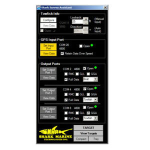
This is a software program designed to simplify the processing and display of data relating to sediment accumulation surveys.
Tools for sediment analysis:
Visualization Tools
Overlay data against image of survey area
Graph data for analyzing trends over time
Min/Max sediment tracking
Min/Max accumulation rate tracking
Data tiling
Averaging of data over entire data set or on a tiled basis
Automatic data archiving
Automatic alarm levels
Data is used by the SAM software to provide critical information to determine sediment levels, rate of increase, and historical data analysis over the area covered.
User friendly interface
Data modification protected by security password, but can be viewed without password.
Hyrdrographic data file input
Catalogs
No catalogs are available for this product.
See all of Shark Marine Technologies‘s catalogsRelated Searches
- Ship winch
- Professional video camera
- Echo sounder
- Video surveillance video camera
- Hydraulic drive winch
- Electric drive winch
- Fixed video camera
- Metal video camera
- Ship software
- Night vision video camera
- Compact video camera
- Video camera with zoom
- Underwater video camera
- ROV umbilical cable winch
- 12 V video camera
- ROV/AUV video camera
- Multibeam echo sounder
- ROV echo sounder
- Side scan echo sounder
- Low-light video camera
*Prices are pre-tax. They exclude delivery charges and customs duties and do not include additional charges for installation or activation options. Prices are indicative only and may vary by country, with changes to the cost of raw materials and exchange rates.


