- Maritime equipment
- Navigation, Communications, Electronics
- Radar navigation system
- Trelleborg Marine and Infrastructure
- Products
- Catalogs
- News & Trends
- Exhibitions
Ship navigation system CAT MAXradarGPScomputerized
Add to favorites
Compare this product
Characteristics
- Application domain
- for ships
- Function
- radar, GPS
- Other characteristics
- computerized, all-in-one
Description
High-end RTK system weighing below 1.2 kg
Wireless charging
Pitch & Roll enabling real-time UKC
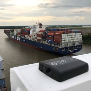
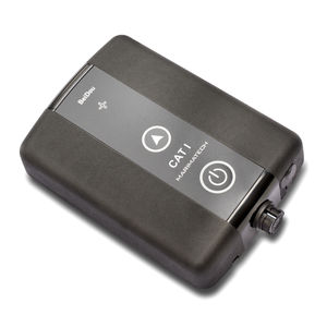
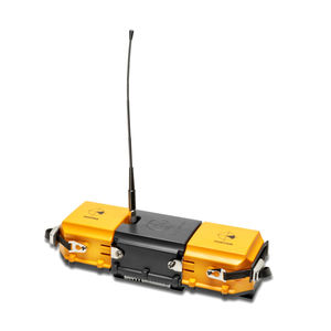
Trelleborg's SafePilot CAT MAX solution is developed for applications requiring the highest positioning accuracy, for instance, piloting in confined waters, offshore operations, and so on.
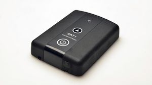
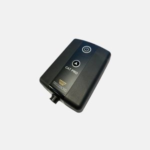
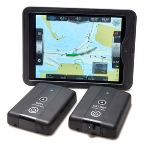
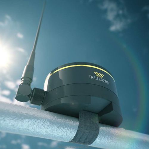
It is a dual antenna solution consisting of heading and positioning units. The system is completely independent and does not rely on the ship's instrumentation.
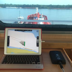
The CAT MAX units communicate with each other and the pilot's display via Wi-FI, ensuring a stable and long range connection.
The built-in three-axis motion sensor offers precise and independent rate of turn, roll, and pitch, allowing for very accurate predictions when doing turns and navigating in confined waters.
Features
Integrated all-in-one unit ensuring exceptional reliability
Minimal set-up time
Extreme heading precision 0.01 deg
Low weight <1.2 kg
Kalman filtering in the unit eliminates errors caused by WIFI package transfer
Heave, pitch and roll monitoring and logging
Automatic base line calculation
Flexible software choice, but we deliver dedicated pilot software for multiple platforms, including the iPad
Large range of options for data integration
Wireless Charging
GPS/GLONASS, optionally BeiDou, Galileo
Applications
For ultra-high precision (~1-3cm), relative 3D positioning and docking maneuvers
⮚ Docking in confined waters
⮚ Offshore operations
⮚ Specialized ships
⮚ Tankers
⮚ Chemical carriers
⮚ FPSO/FSO/FLNG/FSRUs and approaching tankers/carriers
Catalogs
SafePilot brochure
20 Pages
Other Trelleborg Marine and Infrastructure products
Navigation & Piloting Solutions
Related Searches
- Ship software
- Boat software
- Navigation software
- Ship monitoring system
- GPS receiver
- Ship receiver
- AIS receiver
- Alarm monitoring system
- Navigation system
- Fuel monitoring system
- GNSS receiver
- GLONASS receiver
- GPS navigation system
- EGNOS receiver
- Mooring line load monitoring system
- MSAS receiver
- SBAS receiver
- WAAS receiver
- Autopilot navigation system
- Radar navigation system
*Prices are pre-tax. They exclude delivery charges and customs duties and do not include additional charges for installation or activation options. Prices are indicative only and may vary by country, with changes to the cost of raw materials and exchange rates.


