- Maritime equipment
- Navigation, Communications, Electronics
- Radar navigation system
- Trelleborg Marine and Infrastructure
- Products
- Catalogs
- News & Trends
- Exhibitions
Ship navigation system CAT IIradarGPScomputerized
Add to favorites
Compare this product
Characteristics
- Application domain
- for ships
- Function
- radar, GPS
- Other characteristics
- computerized, all-in-one
Description
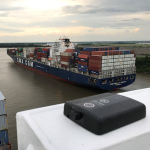
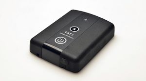
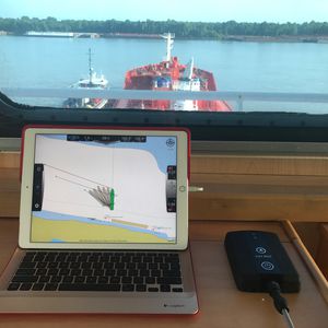
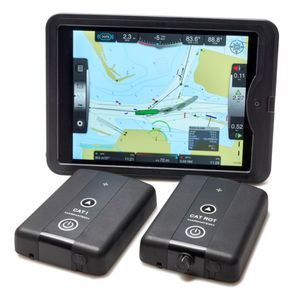
For the maritime pilot operating in confined and busy waterways and ports, the SafePilot CAT II offers a precise, reliable tool for navigation and berthing, providing all required navigational data and a large range of options for additional real time data integration.
The CAT II is completely independent of the ship’s sensors. CAT II uses both GPS (L1) and GLONASS (L1) satellites and is prepared for Gallileo. It is available in 4 versions:
- GPS/GLONASS uncorrected
- Differential corrections via SBAS
- Differential corrections via UHF
- Differential corrections via 3G / 4G
Features
“All in one unit” with minimum set-up time
Low weight <3.8 kg
(incl. options such as integrated AIS receiver and UHF link)
Highly accurate and reliable data for berthing and maneuvering
Kalman filtering in the unit eliminates errors caused by the WIFI package transfer
Automatic base line calculation
Large range of options for live data and system integration via SafePilot Port Server
Easily portable in a padded back pack or hard case
Applications
For high precision (<0.4m) 2D positioning and docking maneuvers
Docking in confined waters
⮚ Offshore operations
⮚ Specialized ships
⮚ Tankers
⮚ Chemical carriers
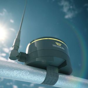
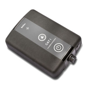
Our CAT II / CAT III is an all-in*one dual antenna solution consisting of a heading and positioning sensor (the central part) and two antennas. The System is completely autonomous and does not rely on the ship's instrumentation. The antennas can be extended to a 4 meter baseline, which provides accurate heading.
Catalogs
Other Trelleborg Marine and Infrastructure products
Navigation & Piloting Solutions
Related Searches
- Ship software
- Boat software
- Navigation software
- Ship monitoring system
- GPS receiver
- Ship receiver
- AIS receiver
- Alarm monitoring system
- Navigation system
- Fuel monitoring system
- GNSS receiver
- GLONASS receiver
- GPS navigation system
- EGNOS receiver
- Mooring line load monitoring system
- MSAS receiver
- SBAS receiver
- WAAS receiver
- Autopilot navigation system
- Radar navigation system
*Prices are pre-tax. They exclude delivery charges and customs duties and do not include additional charges for installation or activation options. Prices are indicative only and may vary by country, with changes to the cost of raw materials and exchange rates.


